How does it work ?
Want to know how we did it ?
While we were trekking in the Himalaya’s, we realized that it was not at all easy to be sure that what we were seeing on the map, was what we were looking at with our eyes.We decided to concentrate our efforts on developing an application capable of displaying exactly what we saw from our point of view on a 3D map.
Here is how we created  .
.


The map displayed is provided by OpenStreetMap while the terrain 3D model has been measured by NASA.
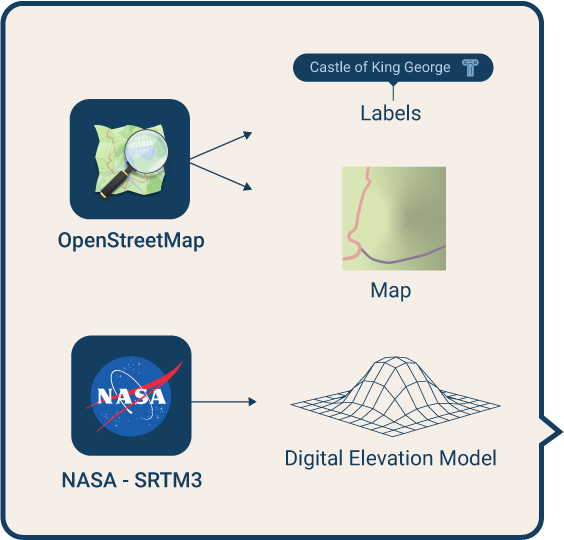


All of this is combined on your device to reproduce an augmented reality map that corresponds to what you really see.

Your exact position and the direction in which you point your phone are calculated using the available sensors of your phone.
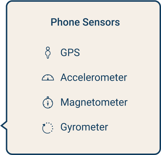
The phone sensors

accelerometer
It measures the direction and intensity of the total force applied on your phone.
When your phone is not moving, it will always point towards the center of the earth.

gyrometer
Measures the rotational acceleration of your phone.
It is used together with the accelerometer to calculate the direction of gravity, even when you are moving your phone.
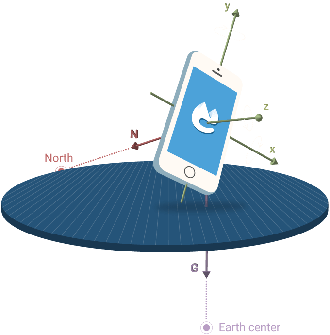

magnetometer
It's actually a 3D digital compass embedded on your phone that always points to the magnetic North of the earth.
It can easily be perturbated by other magnetic sources and hence needs to be calibrated often.

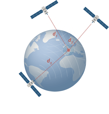
gps
The GPS device on your phone measures the distance to at least 3 different satelites near you to calculate your location.
No internet is needed for the GPS to work, your phone only receives information from the satelites.
 !
!